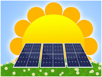
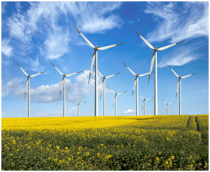
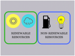
LoreSolar energy and wind energy
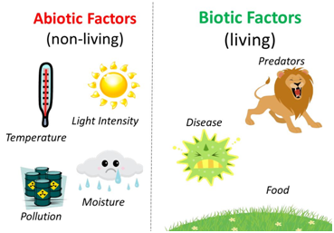
On the basis of origin, resources can be classified into biotic and abiotic resources.
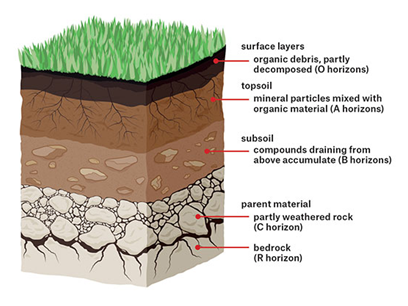
Relief, parent rock or bedrock, climate, vegetation and other forms of life and time are important factors in the formation of soil.
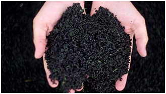
Black soil is known as cotton soil.
Renewable and non-renewable resources.
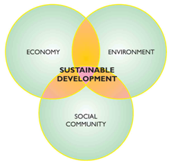
Sustainable economic development means ‘development should take place without damaging the environment and development in the present should not compromise with the needs of the future generations’.
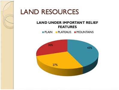
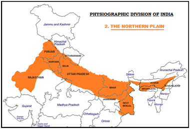
About 43 per cent of the land area is plain. It provides facilities for agriculture and industry.
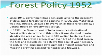
1952
As of now India’s forests are governed by the National Forest Policy, 1988 . It has environmental balance and livelihood at its centre.
Salient Features and Goals:
- Maintenance of environmental stability through preservation and restoration of ecological balance.
- Conservation of Natural Heritage (existing) .
- Checking Soil Erosion and Denudation in catchment areas of rivers, lakes, and reservoirs.
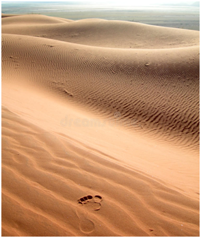
- Checking extension of sand dunes in desert areas of Rajasthan and along coastal tracts.
- Substantially increasing Forest/Tree Cover through Afforestation and Social Forestry.
- Taking steps to meet requirements of fuel, wood, fodder, minor forest produces, soil and timber of Rural and Tribal Population.
- Increasing the productivity of Forests to meet National Needs.
- Encouraging efficient utilization of Forest Produce and Optimum Use of Wood (Timber).
- Generation of Work Opportunities, the involvement of Women.
Overgrazing, mining, quarrying and deforestation.
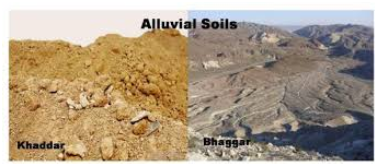
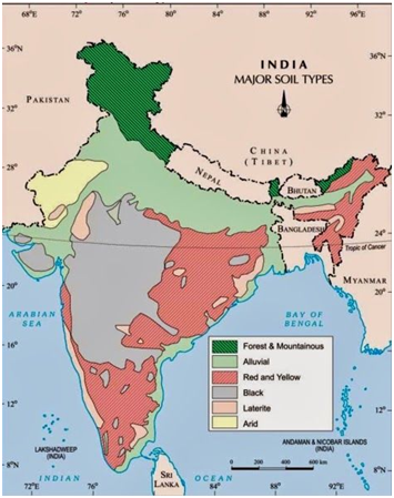
The entire Northern Plains are made of alluvial soil.
According to their age alluvial soils can be classified as old alluvial soil — Bangar and new alluvial – Khadar.
Red and yellow soils are found in the eastern and southern parts of the Deccan plateau, in parts of Orissa, Chattisgarh, southern parts of the middle Ganga plain and along the piedmont zone of the Western Ghats.
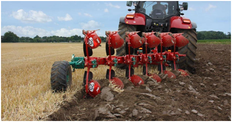
Ploughing along the contour lines can decelerate the flow of water down the slopes.
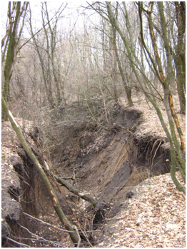
When an area undergoes gully erosion, it becomes unfit from cultivation. This piece of land is known as badland. For exp: The badland in the Chambal basin is called ravine.
(a) Arid soils :
1. Features
- They range from red to brown in colour.
- They are generally sandy in texture and saline in nature,
- In some areas the salt content is very high and common salt is obtained by evaporating the water. Due to the dry climate, high temperature, evaporation is faster and the soil lacks humus and moisture,
- The lower horizons of the soil are occupied by kankar because of increasing calcium content downward.
- These soils can become cultivable if irrigation facilities are made available as has been in the case of western Rajasthan.
2. Places :
- These soils are found in arid areas of Rajasthan, Punjab and Haryana.
(b) Forest soils :
1. Features :
- They are found in mountainous area,
- They are loamy and silty in valley slides and coarse grained in the upper slopes,
- In the snow covered areas of the Himalayas they are acidic with low humus content.